MARINO PH
Your Maritime Digital Hub
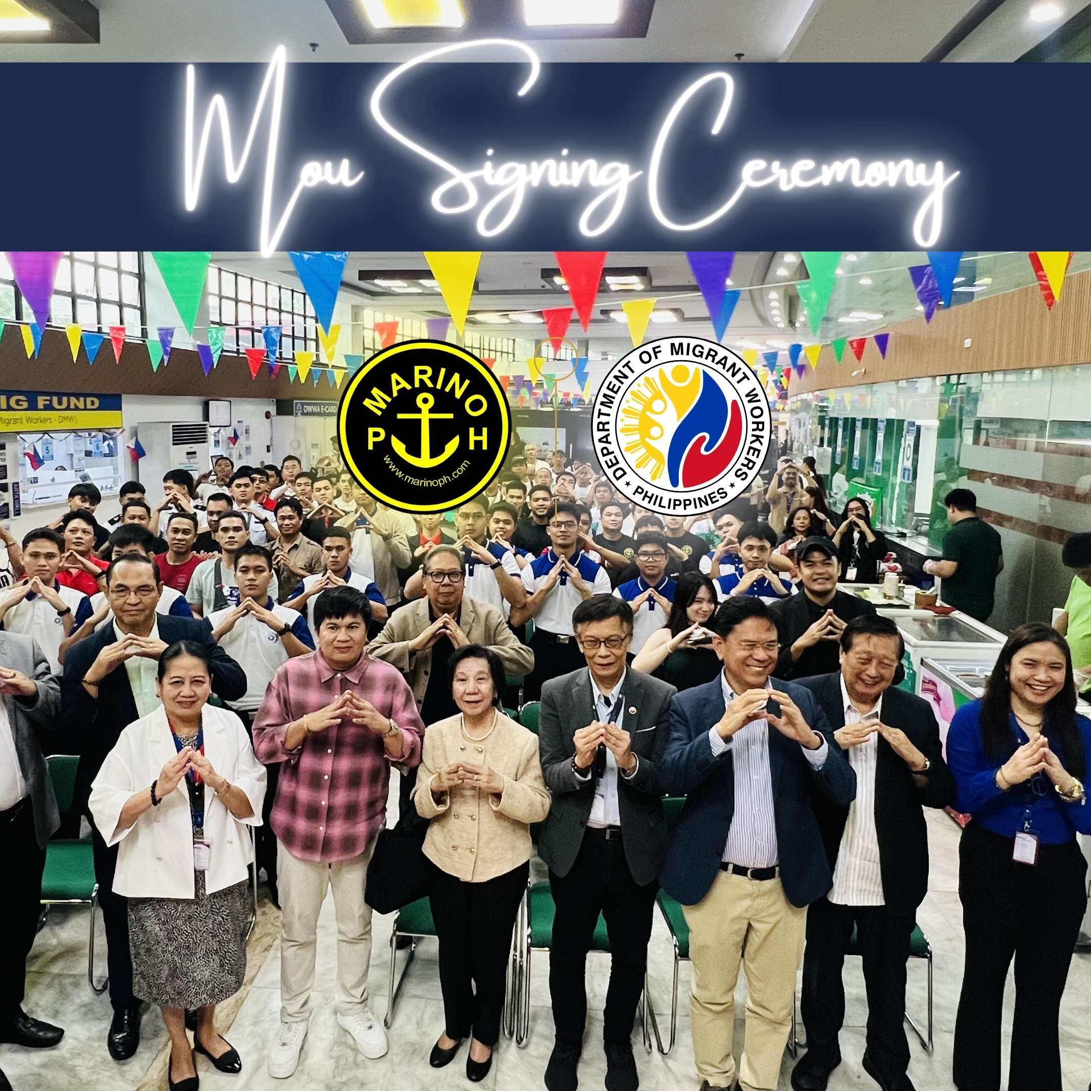
The Department of Migrant Workers (DMW) and MARINO PH formally signed a Memorandum of Understanding (MOU) on Thursday at the DMW Central Office, establishing a digital partnership aimed at strengthening information sharing and enhancing support for Filipino seafarers around the world.

Welding positions are standardized techniques that determine the orientation of the workpiece and the direction in which welding is performed. The infographic highlights the eight common welding positions used in fabrication, construction, and shipbuilding: Flat, Horizontal, Vertical, Overhead, Rotating, Fixed, Fixed (Pipe), and Inclined. Each position requires different levels of skill, body positioning, and control to produce strong, high-quality welds while maintaining safety and efficiency.
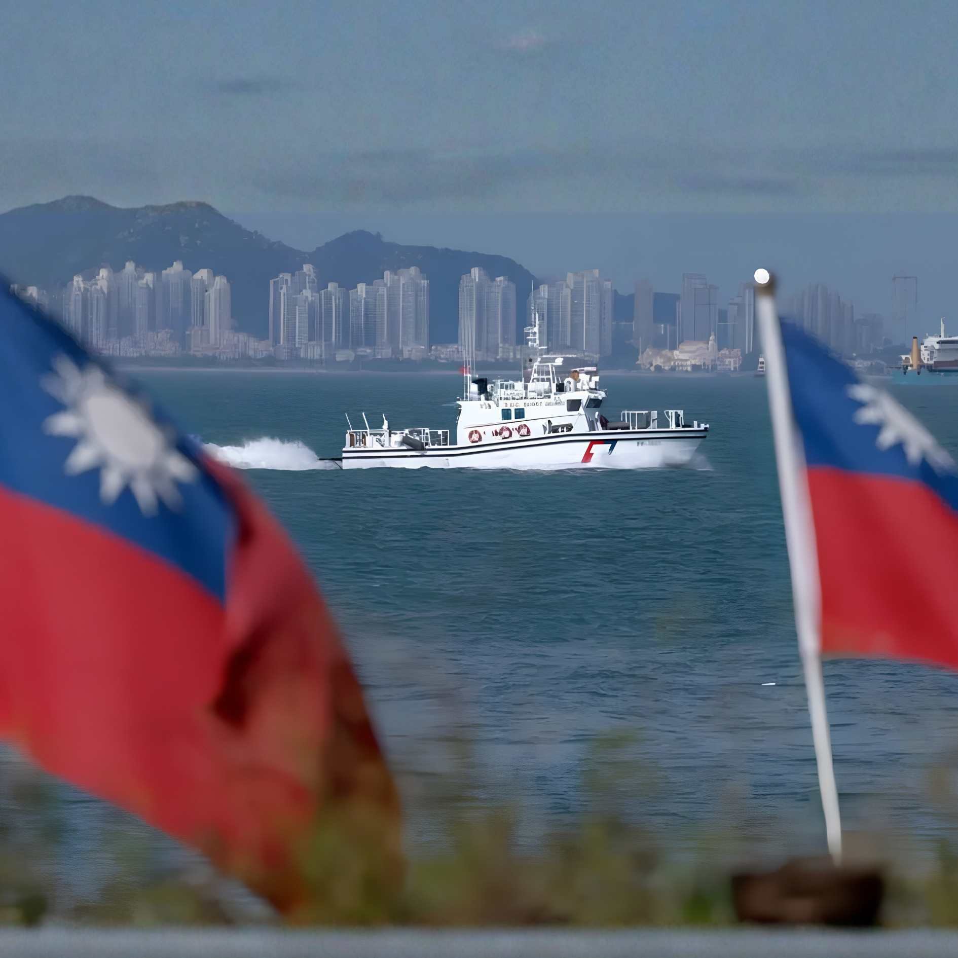
China’s Coast Guard Conducts Patrols East of Taiwan, Drawing Response From Taipei
China’s coast guard conducted what it described as routine law enforcement patrols in waters east of Taiwan on Friday, July 31, as tensions continued between Beijing and Taipei. The Chinese coast guard said the activity was intended to maintain safe navigation, protect lawful maritime activities, and safeguard the rights and interests of fishermen operating in the area. According to China’s coast guard, the patrols were led by the vessel Xiushan, which has been involved in increased maritime operations in the region since July. The agency stated that the patrols would continue as part of efforts to strengthen control and management of the waters east of Taiwan.
Sweden Arrests Cargo Ship Captain After Fatal Collision With Pleasure Boat
Swedish authorities have taken the captain of a Norwegian-flagged cargo vessel into custody following a maritime collision that resulted in the deaths of a woman and her young daughter off the west coast of Sweden. The incident involved the cargo ship Misje Verde and a small pleasure boat in waters near Tjörn, with authorities continuing their investigation into the circumstances surrounding the accident. The collision occurred on July 28 while the cargo vessel was sailing from Uddevalla, Sweden, toward Kragerø, Norway. According to reports, the vessel was operating in the Kattegat area north of Gothenburg when it came into contact with the recreational boat. The accident prompted an immediate response from Swedish maritime authorities and rescue organizations. A nearby recreational boater responded after hearing calls for help and assisted in rescuing a man and his young son from the water. The two survivors were later transferred to emergency responders and brought to a hospital for medical attention. Search operations continued for the missing woman and child, with their bodies later recovered by authorities.
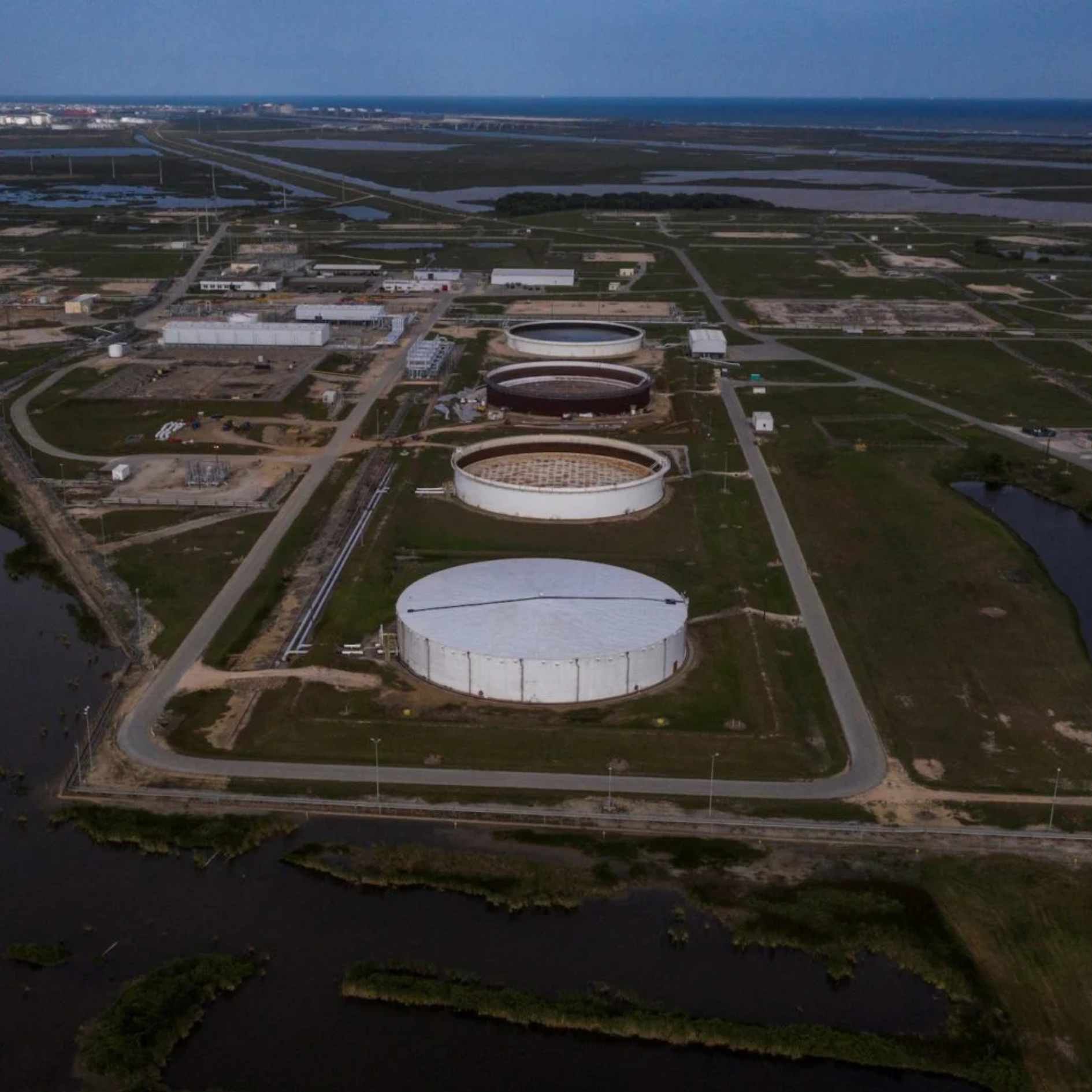
Global Crude Oil Supply Cushion Expected to Tighten in Coming Months, Vortexa Reports
The global crude oil market may face a reduced supply cushion in the coming months as inventories continue to decline and market conditions remain affected by changes in supply flows, according to energy analytics firm Vortexa. The company noted that available crude reserves, which have helped stabilize the market during periods of disruption, are showing signs of shrinking. Vortexa’s analysis highlighted that crude inventories outside China have experienced significant drawdowns, reversing previous stock increases. The reduction in available reserves could limit the ability of the market to absorb future supply disruptions, especially if geopolitical risks or logistical challenges affect major oil-producing regions. The report also pointed to changing global trade patterns, including adjustments in crude exports, refinery demand, and shipping routes. These developments have influenced the movement of oil supplies worldwide, with tanker activity and inventory levels becoming key indicators of market stability.
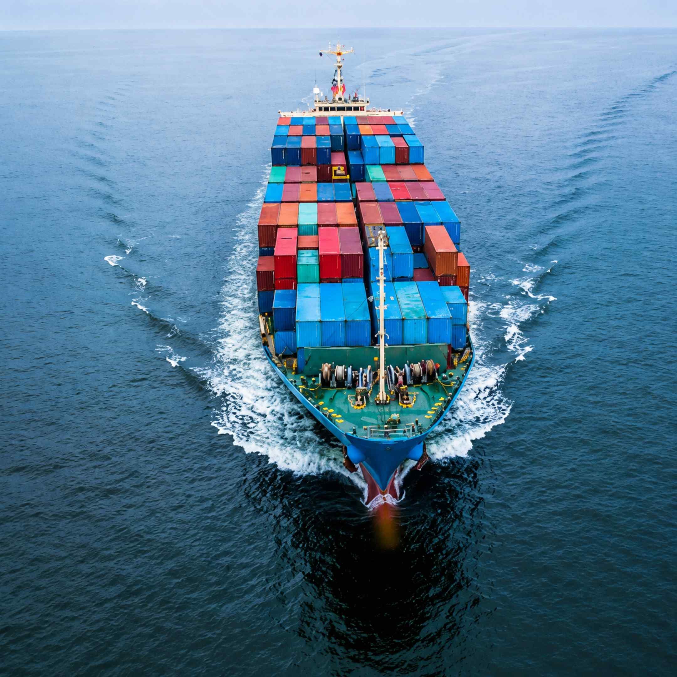
Container Spot Rates Decline as Carriers Offer Discounts Ahead of August Rate Increases
Global container shipping markets are experiencing downward pressure on spot freight rates as ocean carriers introduce discounts and competitive pricing strategies ahead of planned general rate increases (GRIs) in August. The adjustments come as carriers seek to maintain cargo volumes while managing available vessel capacity across major trade routes. Industry reports indicate that spot rates on key container trades, including Asia-Europe and transpacific routes, have softened despite upcoming attempts by carriers to increase prices. The decline reflects changing market conditions, with some carriers offering lower rates to attract shippers and secure bookings before the implementation of new charges.
As the global maritime industry continues to demand highly competent professionals and reliable crew management, Virtue Maritime Services Corp is positioning itself as a manning agency committed to delivering quality service, operational excellence, and comprehensive seafarer welfare. Guided by the principles of integrity, professionalism, and accountability, the company aims to build lasting relationships with both its principals and its crew by providing dependable recruitment and crewing solutions that meet international standards. With a forward-looking approach and a strong commitment to continuous improvement, Virtue Maritime Services Corp seeks to become a trusted partner for the global shipping industry while creating sustainable career opportunities for Filipino seafarers.
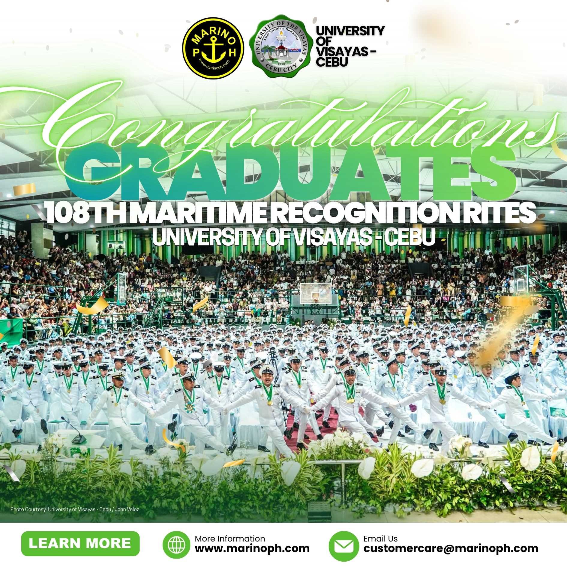
The University of the Visayas (UV) successfully held the 108th Maritime Recognition Rites, celebrating the achievements of the College of Maritime Education Class of 2026. The ceremony honored the graduates for their dedication, perseverance, and commitment throughout their academic journey as they reached an important milestone toward becoming future maritime professionals. Faculty members, university officials, families, and guests gathered to recognize the hard work of the graduating class and to celebrate the beginning of their transition from the classroom to the global maritime industry.

Batch Maraliyag Marks Milestone at AIMS 55th Commencement Exercises and Recognition Day
The Asian Institute of Maritime Studies (AIMS) successfully held its 55th Commencement Exercises and Recognition Day, celebrating the achievements of Batch Maraliyag as they reached another important milestone in their maritime education. The event honoured the dedication, perseverance, and hard work of the students as they prepare for careers in the maritime industry.
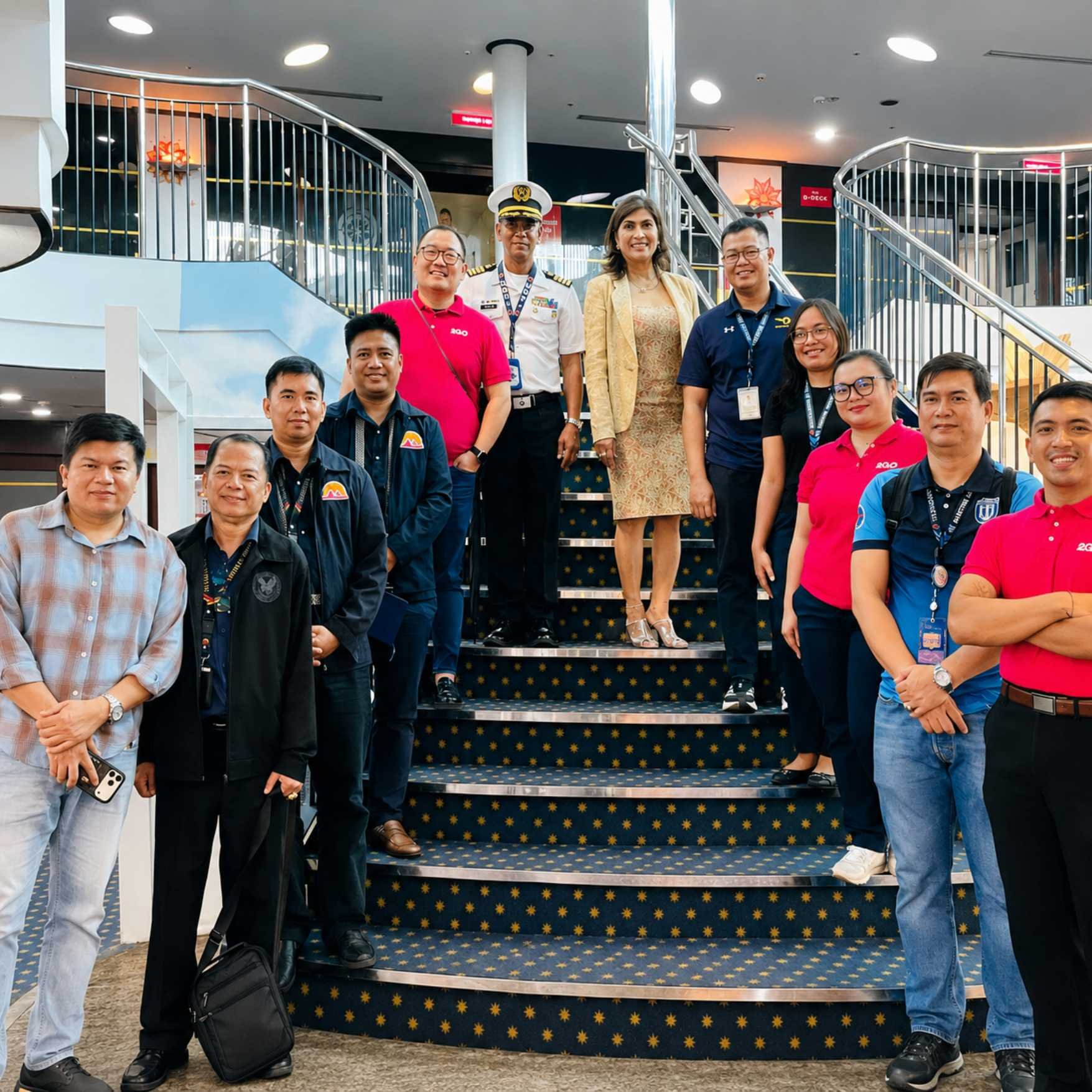
Mariana Academy of Maritime Studies Inc. (MAMSI) and 2GO continue to strengthen their partnership through the development of a Cadetship Program aimed at providing aspiring Filipino seafarers with quality shipboard training and career opportunities. As part of this initiative, representatives from both organizations conducted an ocular visit aboard a 2GO vessel to further discuss and assess the proposed training program.
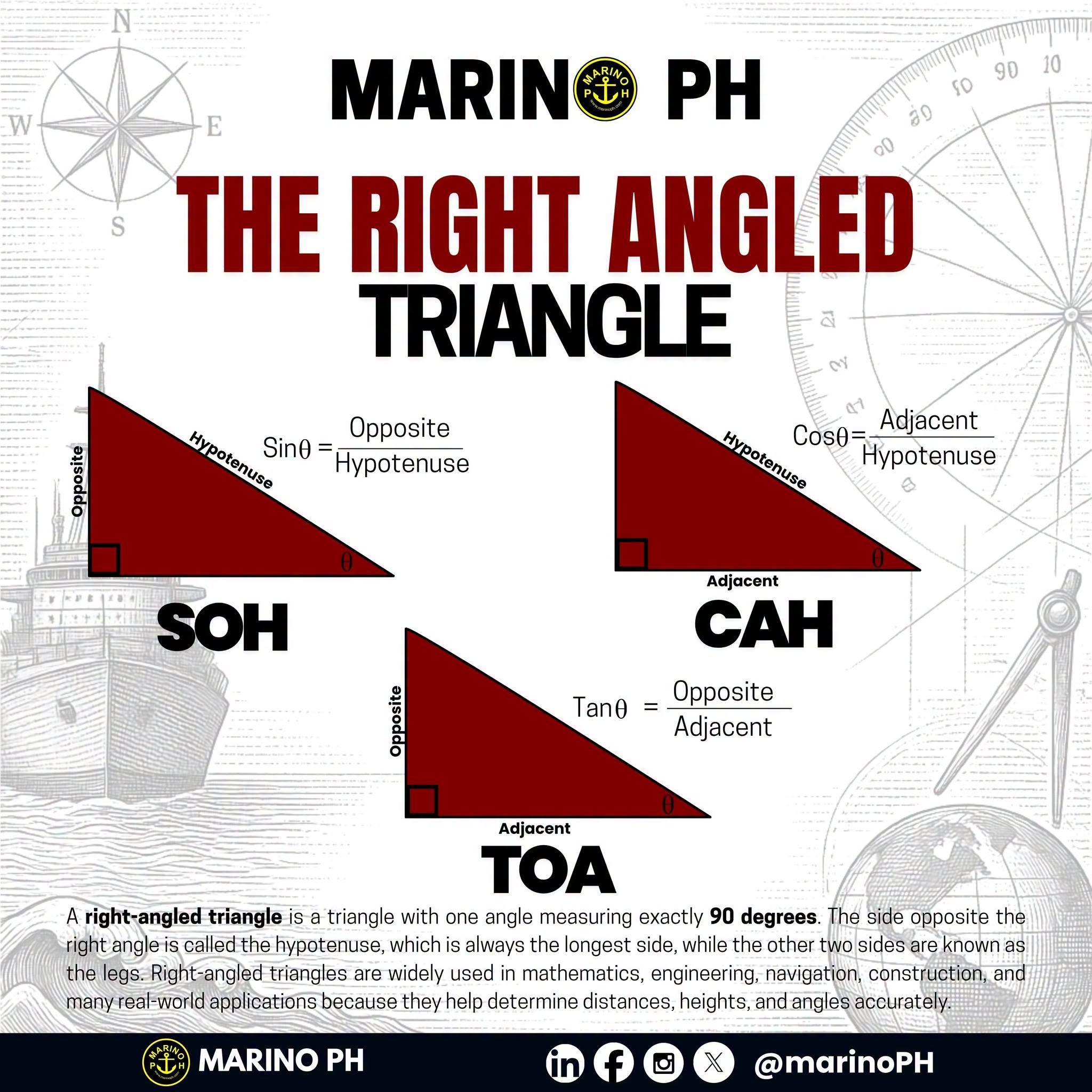
The image is an educational infographic about the right-angled triangle, highlighting its basic properties and the three primary trigonometric ratios: SOH, CAH, and TOA. It explains that a right-angled triangle has one angle measuring exactly 90 degrees, with the longest side called the hypotenuse and the other two sides identified as the opposite and adjacent depending on the reference angle. The clean layout and labeled diagrams make it easy to understand the relationship between the sides of the triangle. The infographic introduces the mnemonic SOH, which stands for Sine = Opposite ÷ Hypotenuse. A labeled right triangle demonstrates how the opposite side and the hypotenuse are used to calculate the sine of an angle. This visual approach helps learners remember the formula while understanding how each side is positioned relative to the given angle.
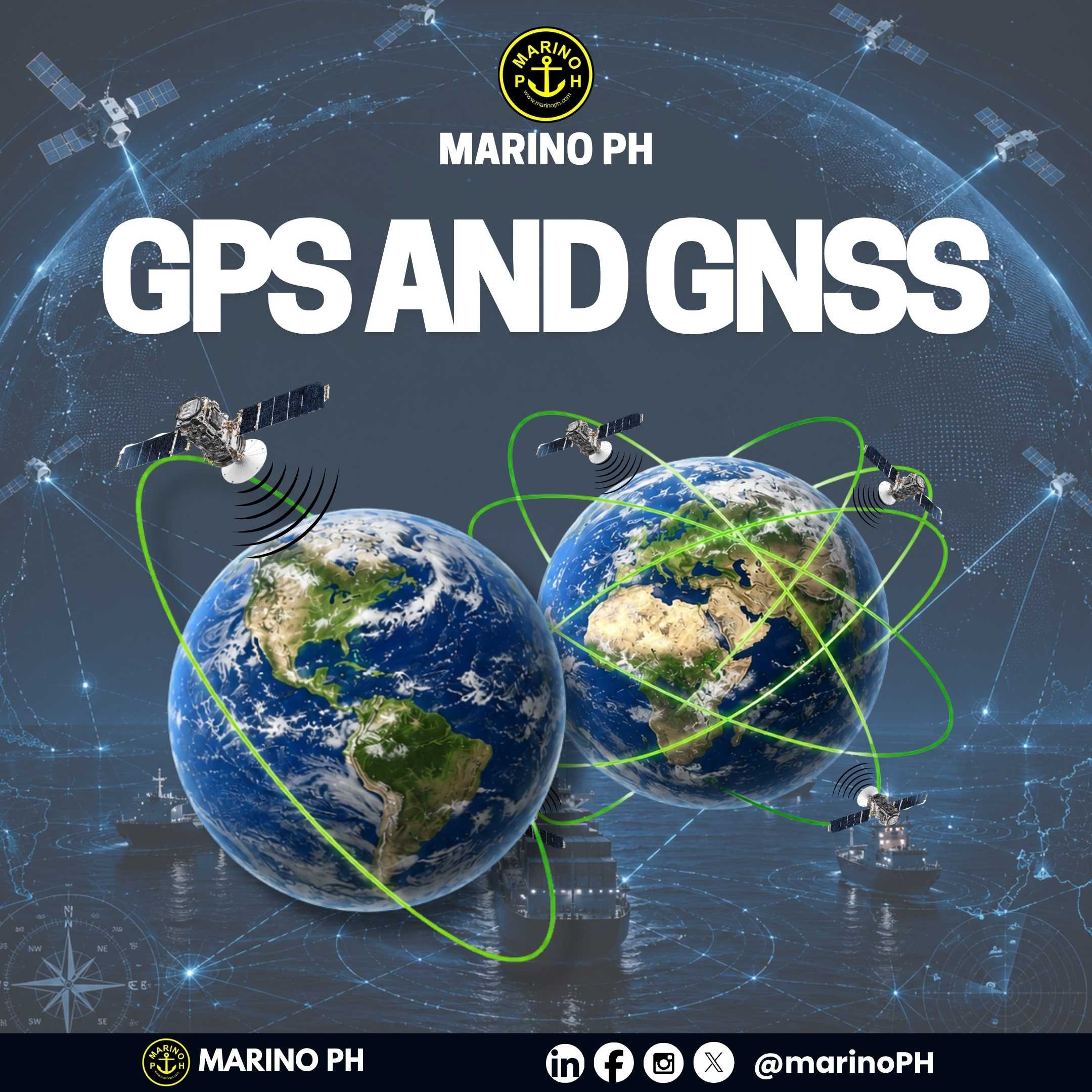
Many people use the terms GPS and GNSS interchangeably, but they are not exactly the same. GPS (Global Positioning System) is a satellite navigation system developed by the United States, while GNSS (Global Navigation Satellite System) is the general term for all global satellite navigation systems, including GPS, Russia\'s GLONASS, Europe\'s Galileo, and China\'s BeiDou.
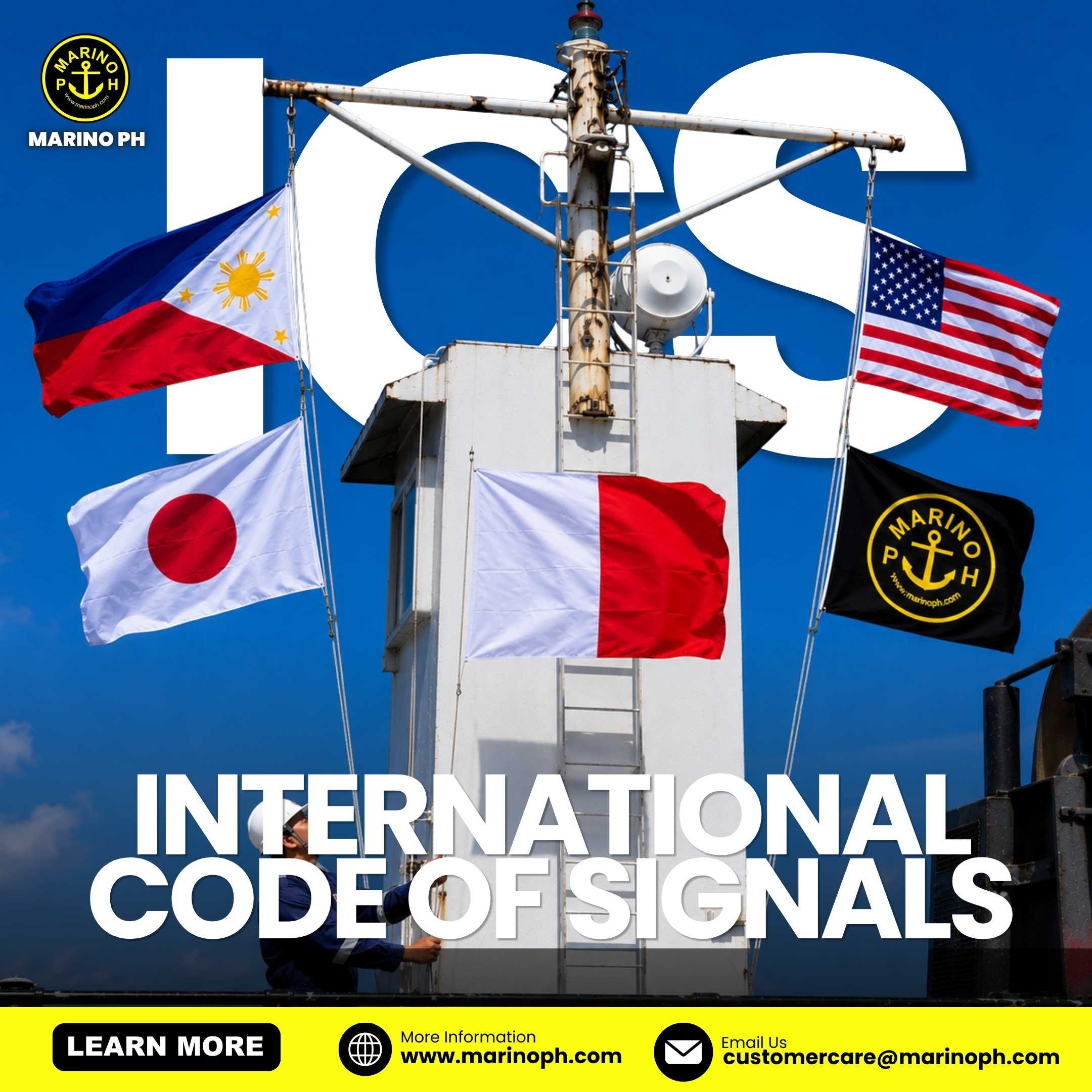
The International Code of Signals (ICS)
The International Code of Signals (ICS) is a standardized maritime communication system used by ships worldwide to exchange important information regardless of language. It uses signal flags, Morse code, and radio communications to ensure clear, safe, and effective communication between vessels and shore stations.
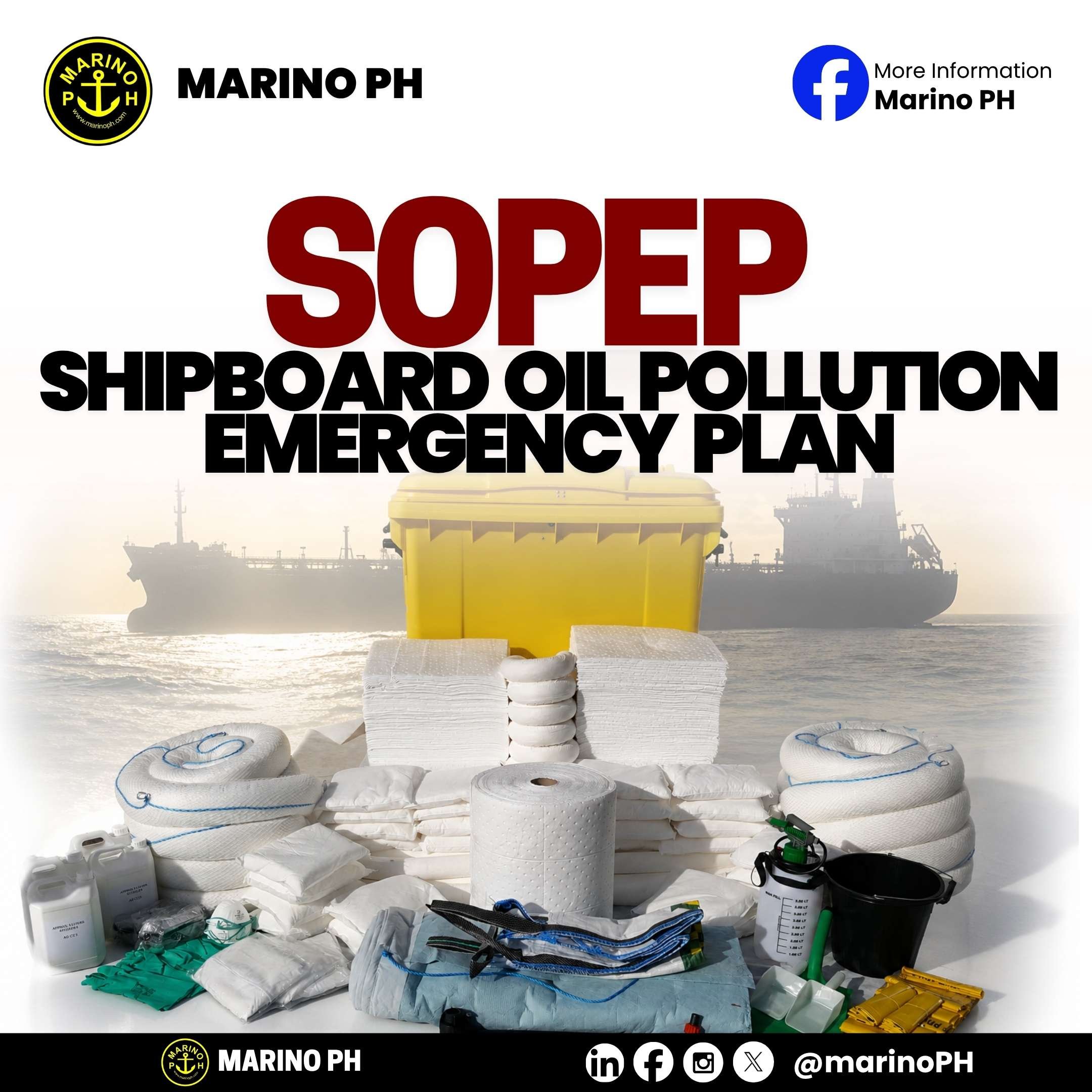
Shipboard Oil Pollution Emergency Plan (SOPEP)
The Shipboard Oil Pollution Emergency Plan (SOPEP) is a mandatory onboard emergency response plan required under MARPOL Annex I. It provides the crew with clear procedures and guidance for responding quickly and effectively to an actual or suspected oil pollution incident, helping minimize environmental damage and ensuring timely reporting to the appropriate authorities.